
CS61B: BearMaps
BearMaps
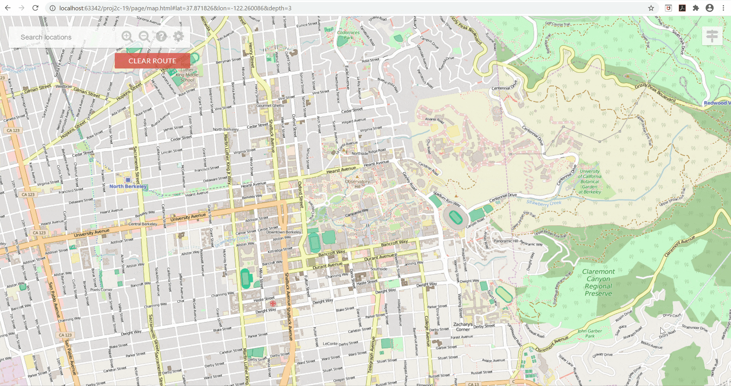
BearMaps is a web mapping application inspired by google map and OpenStreetMap. It is a course project of CS61B (Spring 2019) at UC Berkeley.
BearMaps has most of the basic features of a mapping application such as map rastering, zooming/dragging, location searching, routing and navigation.
Try it yourself: BearMaps online
| Feature | Description |
|---|---|
| Map Rastering | Finds the grid of images that best matches user’s requested area and level of zoom. Then combines these images into one big image (rastered). |
| Autocomplete and Search | Provides search suggestions based on user input in the search bar and mark the search results with red dots on the map. A Trie backs this feature. |
| Routing | Finds the shortest path between starting point and destination with K-D Tree and A* algorithm and plots navigation routes on the map. |
| Turn-by-turn Navigation | Provides a sequence of navigation instructions such as “Turn left on University Avenue and continue for 1.0 miles”. |